Home - Uphillhike
2964
home,paged,page-template,page-template-blog-compound,page-template-blog-compound-php,page,page-id-2964,page-parent,paged-5,page-paged-5,qode-quick-links-1.0,ajax_fade,page_not_loaded,,qode-title-hidden,qode_grid_1300,qode-content-sidebar-responsive,qode-theme-ver-11.0,qode-theme-bridge,wpb-js-composer js-comp-ver-5.0.1,vc_responsive
PCT Sierras, PCT Thru Hike / 10.09.2018

At mile 1002.4. Hiked 25.8 miles today. The miles I hiked in the morning were over some of the most difficult I have encountered on the PCT. Actually this difficult stretch includes some of the miles that I hiked late the day before. There were steep ups and downs with rocky and washed out surfaces. This made the hiking even slower downhill than uphill. One time my foot rolled sideways on a round stone so that the upper side of my shoe slammed into an embedded dagger-like rock. The...

PCT Sierras, PCT Thru Hike / 09.09.2018

Day 141 At mile 976.6. Hiked 20.6 miles today. There are not many photos of the wooded areas, but these are some of the most peaceful and delightful areas to walk through. It was too cold to worry about breakfast (my water bottles were partially frozen) when I woke up, so I  ate breakfast later at this spot on Miller Lake.  Near Miller Lake. As I sat at Miller Lake, the button on my pants popped off. What to do now? With no belt, the button was all that held my pants up....

PCT Sierras, PCT Thru Hike / 08.09.2018

At mile 956. Hiked 20 miles today. Saw Shuttle hiking southbound. She  had also skipped the Sierra and saved it for last. We had hiked together part of a day in SOCAL going into Mike’s Place. She is the first person I have seen that I knew since I skipped to the Sierra. Here is early morning fog lifting from a meadow where the Tuolomene flows. This rock feature is on the Tioga road at the point the PCT crosses. I ressupplied at the post office nearby and also resupplied my...

PCT Sierras, PCT Thru Hike / 07.09.2018

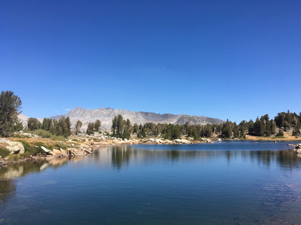
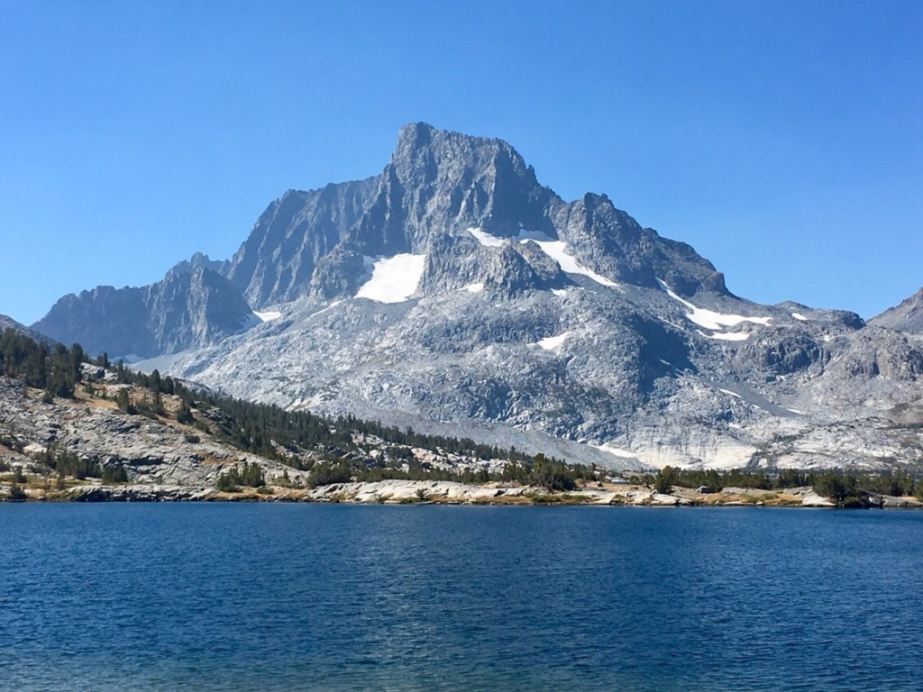
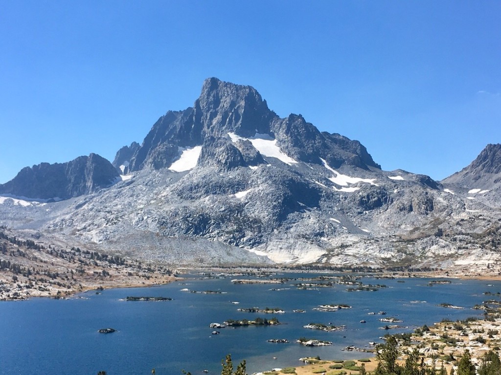
At mile 936. Hiked 23.8 miles today. I met a pair of thru-hikers heading southbound. Their trail names were David and Z. David’s real name is Mike. Nobody seemed to be able to remember his real name so they named him David since it was presumably easier to remember. Z got her name because she hikes with Chacos, leaving Z tan marks on each foot. David and Z and I had never previously met, but we knew all the same PCT hikers. It was fun talking to them to catch up on all of our in-common friends. They had hiked with Ridge Route and Shortcut in Washington. I told them that RR and Shortcut were in the Sierras now. Z had met Cache 22 at the Oregon border where they were both starting their hikes. There were many others that we both knew or met such as Bear, Flying Amaneta, Hummingbird, Rifle, etc. Here is a small lake where I ate lunch, soaked my feet, and napped. Banner Peak in Ansel Adams Wilderness. Banner Peak with Thousand Islands Lake. The trail.