
Day 4 – A hard day on the AT
The sun came out. Only 12 miles today, but they were tough. Hiked from Thistle Rock Shelter to Winturi Shelter. After 2 strenuous days, the sore muscles showed up on this shorter day. I also started getting blisters from the wet socks and steep descents. We are at Winturi Shelter. Piper showed up. Later after dark Shaker rolled in followed by Beast about 10 minutes later. Sheffield and I are tenting, rather I am tarping. A limb fell nearby last night. With better weather hopefully the limbs will stay on the trees tonight. Another salamander today.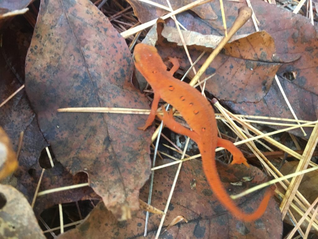 Winturi Shelter - I tarped outside the shelter.
12 October, 2017
/ 0 Comments


