PCT North California / 10.06.2018
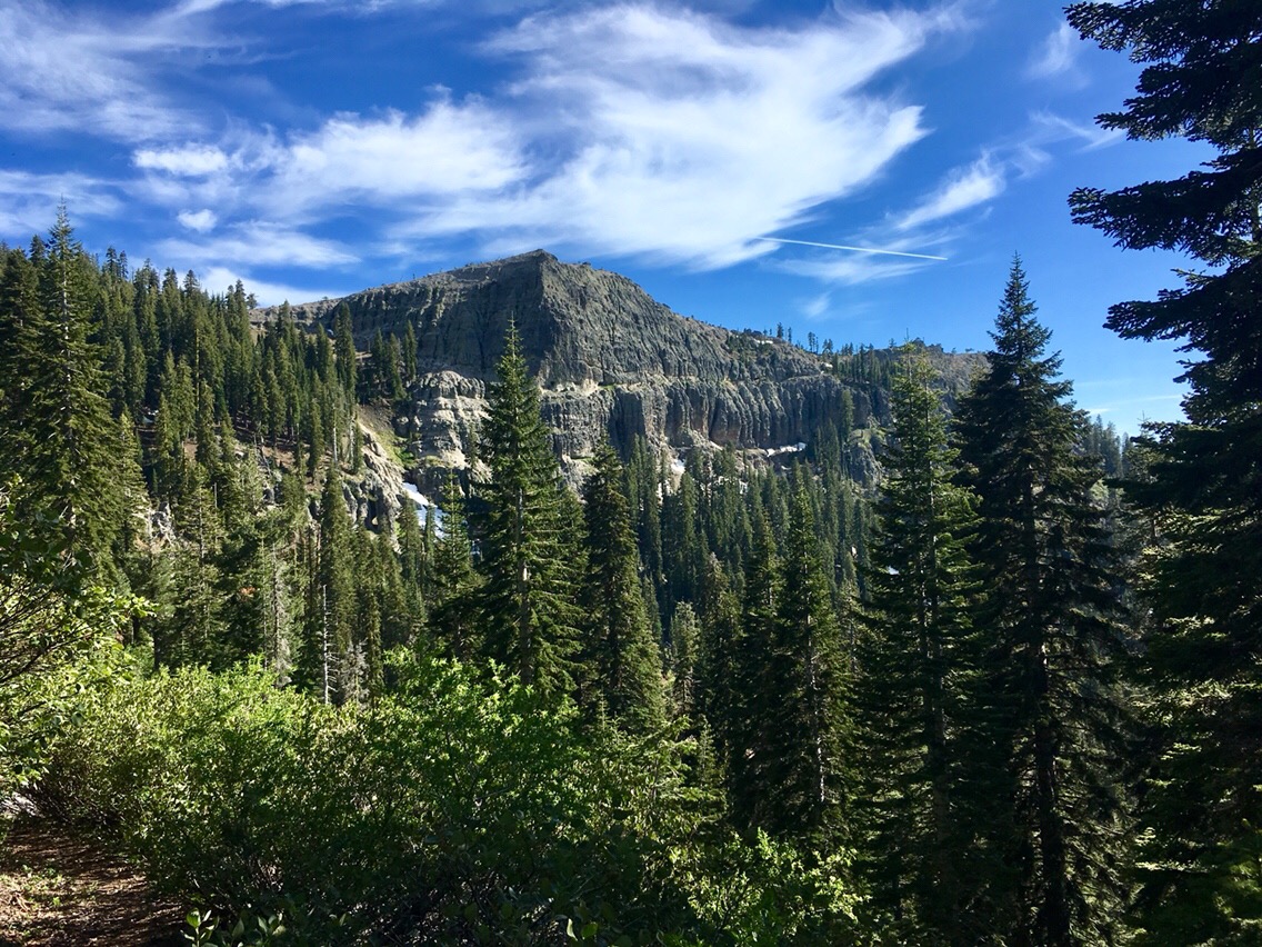
Day 46 – Middle Fork Feather River
[vc_separator type="small" position="center" width="27" up="18" down="32"]
At mile 1249.8. Hiked 25.3 miles today. I am finally seeing other people. Yesterday I saw Golden who moved on ahead of me. Today I saw a number of thru-hikers who flipped the Sierras. I’ve also been seeing a few section hikers. Nearly all have been SOBO. There were 2 types of hikers I have been seeing today. There are the smart hikers who avoided an early hike through the Sierras and there are the intense hikers that plunged into the Sierras, early but left the Sierras early for one...