High Water on Eagle Creek - Uphillhike
3628
post-template-default,single,single-post,postid-3628,single-format-standard,qode-quick-links-1.0,ajax_fade,page_not_loaded,,qode-title-hidden,qode_grid_1300,qode-content-sidebar-responsive,qode-theme-ver-11.0,qode-theme-bridge,wpb-js-composer js-comp-ver-5.0.1,vc_responsive

High Water on Eagle Creek

I left directly from work Friday afternoon and drove through Robbinsville, NC on the way to Twenty-Mile Ranger Station in the Smokies. Along the way it had been raining and as I reached Robbinsville there was a mix of rain and snow. I arrived late at night with the snow coming down. Several young guys arrived and parked soon after I pulled in. They were planning to night hike to the top of Gregory Bald. My plan was more modest and involved hiking a mile or so into campsite 93 where I would spend the night.

December 11th – 13th, 2008

The next day I hiked to Eagle Creek where I had planned to walk to Spencefield Shelter. As I rounded the bend over Campsite 90 I heard roaring water and saw a river that reminded me of a small Colorado river. The water was rushing over rocks and seemed to want to carry everything away.


Crossed here twice at 1st ford, once in each direction.
 

I had not consulted my brown book and if I had, then I would have known that there were at least 15 fords of Eagle Creek. I made it across the first crossing and at the 2nd crossing I made it to nearly mid-stream when I felt myself about to go weightless. The current was pushing hard against each leg and against each hiking pole. I strained to stay upright as the current swept away one of my hiking poles. At that point I knew that I had to return to the bank, but wasn’t sure I could make it. Very carefully I shuffled along the rocky bottom and made m way out of the strongest current and back to the bank. I couldn’t believe that there were already 2 fords and I thought about a reattempt, but first I consulted the brown book. With the brown book stating that there were at least 6 – 7 difficult crossings with some of the later crossings harder than the first, I knew that it would be foolish to continue on Eagle Creek trail. I returned to Lost Cove Campsite 91 where I built a fire and attempted to dry out.

Eagle Creek Hike Attempt Route

My route traced in blue.

Snow! Twenty Mile Gaining Elevation

Snow! Twenty Mile Gaining Elevation

Snow!

Snow!

Snow Encrusted Sign on AT at Twenty Mile Intersection

Snow Encrusted Sign on AT at Twenty Mile Intersection

AT End of Lost Cove Trail

AT End of Lost Cove Trail

Shuckstack Fire Tower in Snow

Shuckstack Fire Tower in Snow

Eagle Creek on Lakeshore Trail near Campsite 90

Eagle Creek on Lakeshore Trail near Campsite 90

Water is high on Eagle Creek after 2 days of December Rain

Water is high on Eagle Creek after 2 days of December Rain

Mark at Eagle Creek

Mark at Eagle Creek

Crossed here twice at 1st ford, once in each direction.

Crossed here twice at 1st ford, once in each direction.

Lost Cove Campsite 91 the next morning after the Eagle Creek attempt.

Lost Cove Campsite 91 the next morning after the Eagle Creek attempt.

Boots frozen solid with Eagle Creek Ice

Boots frozen solid with Eagle Creek Ice

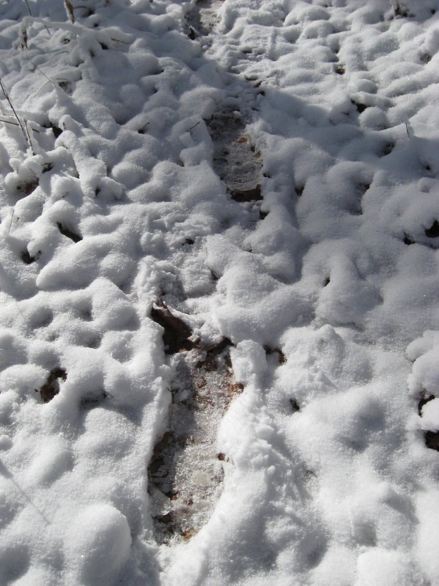
Day old frozen footprints of Mark seen when I backtracked the next day back up Lost Cove Trail

Day old frozen footprints of Mark seen when I backtracked the next day back up Lost Cove Trail

Back to the top of Lost Cove and the AT sign is no longer covered with snow.

Back to the top of Lost Cove and the AT sign is no longer covered with snow.

Taking a break at Campsite 113 on the AT.

Taking a break at Campsite 113 on the AT.

IMG_1127 IMG_1128

Bear Tracks off Gregory Bald Trail

Bear Tracks off Gregory Bald Trail

Cades Cove from Gregory Bald

Cades Cove from Gregory Bald

IMG_1144

Sheep Pen Gap Campsite 13 was very windy and cold. I slept in 2 sleeping bags and all my clothing.

Sheep Pen Gap Campsite 13 was very windy and cold. I slept in 2 sleeping bags and all my clothing.

Partridge Berries, Yummm!

Partridge Berries, Yummm!