29 Jun Kayaking and Hiking Slickrock Creek
June 27 – 29, 2015
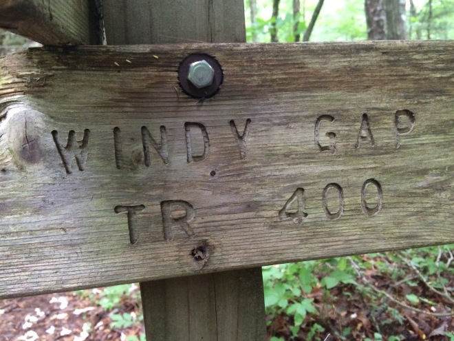
From Magazine Branch Campground and Boat Ramp on Calderwood Lake via one man Ocean Kayak (Yak Board) to campsite on Slickrock Creek, then hiking Slickrock Creek trail past Lower Falls and Wildcat Falls to Big Fat Gap and returned to campsite via Windy Gap, Nichols Cove, Yellowhammer, and Slickrock Creek trails.

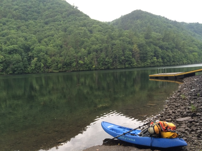
Early morning view from Calderwood Lake down channel of Slickrock Creek.
Many others were sleeping in their cars, tents, and hammocks. They were up late so I didn’t get much sleep.
Launch point.
It was less than a mile downstream to the Slickrock Creek entrance.
While paddling to Slickrock creek hugging the far shore when I came upon a duck with about 8 – 10 ducklings. While watching the duck family skitter away across the calm water I suddenly heard a couple of loud snorts on the bank to my back. I looked over and imagined that I saw a bear in the shadows. I wondered momentarily whether a bear could swim out to my kayak and whether I could out paddle it. It turned out to be my imagination. The bear was an old stump and the snort turned out to be a river otter who would stick his head out from the rocks to warn me away with his otter barks.
That evening after completing the hike from base camp I took the kayak out to explore further downstream.


