26 Nov Arkaqhah Trail Hike
Arkaqhah Trail Hike
November 26, 2008
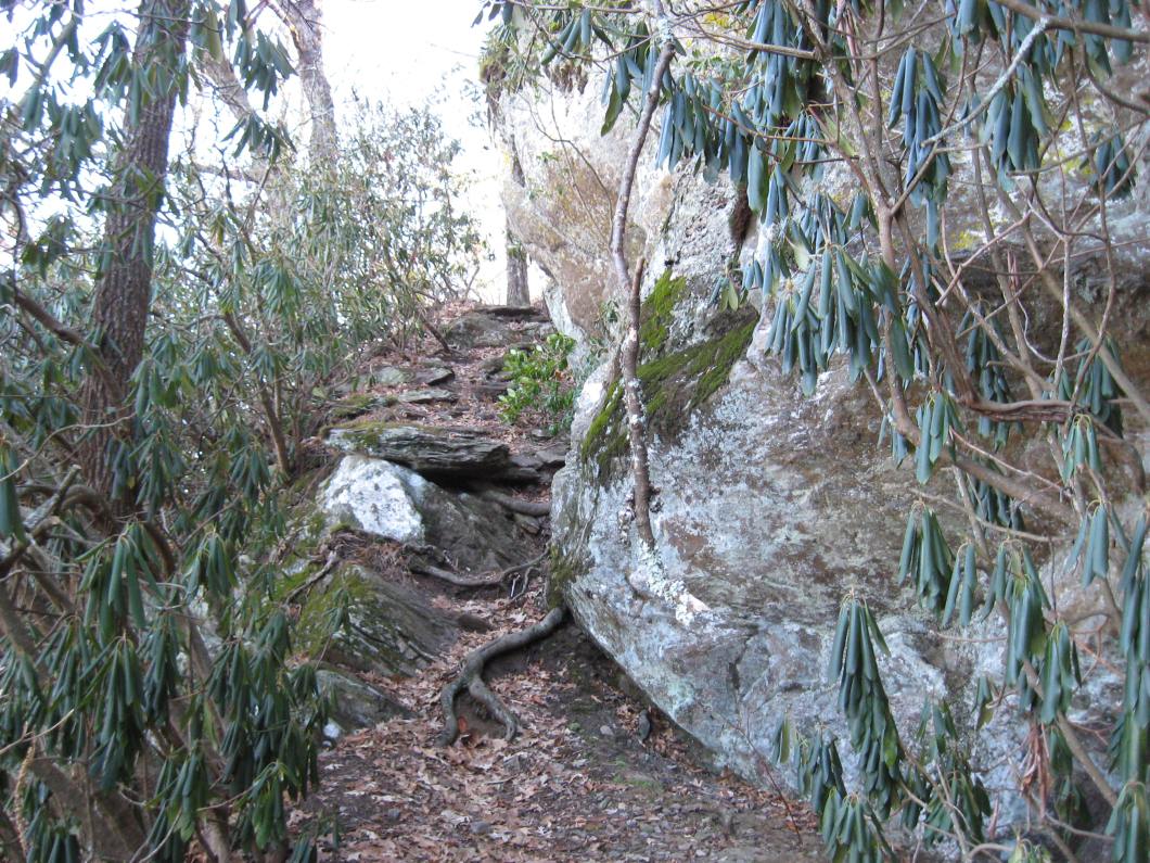
Started at Track Rock Gap at 8:30 AM. The temperature was 24 degrees. The trail starts uphill and after a few hundred yards turns left following the hillside and angling upward. Within 10 – 15 minutes at a big rock just to the left, the trail crosses from one hill to another at the head end of a gully. From there, the trail soon begins to climb steeply straight up the fall line with a break of a climb not quite as steep and followed by another, but shorter straight up the fall line steep climb. The trail takes a couple of turns, perhaps switchbacks, then climbs straight up the fall line again. The trail turns right onto the first of 12 switchbacks leading to the first ridgetop and a view of Brasstown Bald. The 3rd, 4th, 6th, and 7th switchbacks are shorter. All of the switchbacks rise quickly.
At the ridge summit to the right of Brasstown Bald you can see a broad, high cliff on the facing mountain. It might be an attraction to rock climbers. Only about 100 – 200 feet down the ridge there is a rock outcrop with the first of many nice views of toward the valleys of the north.
Continuing on the trail, I noticed that the steep heights overlooking the broad valley on the north side could attract hang gliders. At one point it seemed as if I could step off the side of the trail and land in a parking lot about 1000 feet straight below.
After the ascent to the peak of the first ridge the trail follows ridges and skirts peaks with no major ascents or descents. With views of the ridge to the south it seemed that I could pick out Blood Mountain, Hogpen Gap, the Blue Ridge Swag, and a probable Unicoi Gap. Looking back more to the southwest, I thought that I could see Coosa Bald and even Flat Top Mountain (Cohuttas) toward the west.
Saw two couples on this out and return trip. The first couple was a man and wife trail maintaining crew. They were armed with a hand saw that could handle branches as large as 8 inches. I gave them info on a large tree that had fallen right on top of the first ridge top. On my return from Brasstown, I saw that they had cut a pathway under the suspended tree.
I wore gloves, hat, coat, and wind pants and made adjustments by partially unzipping my fleece part way and stuffing in my gloves and/or hat when I started heating up. Inevitably, with wind or shade or easier slope, the fleece would get zipped back up and the gloves and hat would return to their places on my hands and head. My steps crunched as I stepped on the frozen ground. No water on this trail, but there were icicles.
At the Brasstown tower, I ate a couple of old bagels with honey and strawberry jam that I saved from my Chik-fil-A breakfast this morning.
On the return I revisited a sloping south facing rock face that was heated by the sun and sheltered from the breeze. Using my pack as a pillow, I pulled my black fleece hat over my eyes and took a nice warm nap. As I woke up, I opened my eyes to a clear view of the ridges of the Appalachian.

View northward. Ridge extending just below the level of my eyes is another trail access to Brasstown Bald.

View northward. Ridge extending just below the level of my eyes is another trail access to Brasstown Bald.


Resting at first ridge top with a view following an uphill hike.

The view at the rest stop.


